Resources
Planning Division
California Environmental Quality Act
The state legislature enacted the California Environmental Quality Act (CEQA) in 1970. CEQA established statewide regulations for the environmental review of discretionary projects as well as a process for mitigating or avoiding potential environmental impacts.
The purpose of CEQA is to:
Disclose to the public the potentially significant environmental effects of a proposed project;
Develop alternatives and mitigation measures to prevent or minimize environmental impacts;
Identify additional opportunities for public participation and community input;
Improve the findings to support the future approval of discretionary projects.
Looking for specific project EIR documents?
Visit our Planning Projects Page.
Covina General Plan
The Covina General Plan is the umbrella document that allows the City to plan for future development. The General Plan’s intent is to set the City’s goals for development approvals and the built environment, land use ground rules, and give the public the chance to participate in the City’s planning process. Every City decision and document regulating the built environment, including the zoning code, has to be consistent with the General Plan.
Covina General Plan Land Use Map (7/6/2022)
The Following are sections of the General Plan :
0 – Summary and Introduction
1 – Land Use Element
2 – Circulation Element
3 – Housing Element (Review the “Housing Element” tab for progress)
4 – Natural Resources and Open Spaces Elements
5 – Safety Element
6 – Noise Element
7 – Technical Appendix
Covina Housing Element
State law requires the Housing Element be updated every eight years to remain relevant and reflective of the community’s changing housing needs. HCD identifies the statewide housing need, and this need is then allocated to each California city or local jurisdiction through a Regional Housing Needs Assessment or “RHNA.” Essentially, a RHNA allocation is the total number of housing units a city must plan to accommodate over the next eight years. The Housing Element is required to identify potential sites and provide policies and programs that will facilitate the production of housing.
FAQ: Covina 6th Housing Element (9/16/2021)
Covina 6th Housing Element -City Adopted – HCD Certified March 2024
Covina 6th Housing Element Appendix_March2024
HCD Certification Letter dated February 29, 2024
Covina Mixed-Use Overlay Districts
The Mixed-Use Overlay District (MUOD) is to guide and regulate future mixed-use development in accordance with the policies and objectives of the mixed-use land use designation as established in the Covina general plan. The MUOD establishes specific development regulations and design criteria/standards with the goal of achieving high-quality mixed-use projects, which can be applied on a project-by-project basis to areas that are designated general commercial or industrial in the general plan.
Additionally, the purpose of our Affordable Housing and Mixed-Use Overlay District (AHMUOD) is to encourage the development of housing, and especially affordable housing, as a means of meeting the city’s obligations under state law to provide opportunities for housing developments in accordance with the Regional Housing Needs Assessment (RHNA) and the city’s RHNA allocation
Overlay Districts are also shown on our
Public GIS (Online Map)
https://www.codepublishing.com/CA/Covina/#!/Covina17/Covina1759.html#17.59
https://www.codepublishing.com/CA/Covina/#!/Covina17/Covina1731.html#17.31
Planned Community Developments, or PCD’s
When a proposal for a new development is made and it is desirable to apply regulations more flexible than those applicable to other zones in this title, a planned community development district shall be established. Such districts may provide diversification in location of structure, uses and other site qualities while ensuring compatibility with uses and future developments on the surrounding areas as indicated within the general plan.
Approved Sign Programs
opt-No. 1 Covina Town Square – SEC Azusa and Arrow Site Plan PCD 97-001 and SPR 87-40
opt-No. 1 Covina Town Square – SEC Azusa and Arrow
opt-No. 1A Ord. 12-2009 modified sign program for Covina Town Square
N0. 2 Palm Center – sec 1000 block n. citrus
No. 3 Citrus Plaza – nc 900 block Citrus
opt-No. 4 Covina Village Shopping Center – 501-621 N. Azusa
No. 5 Covina Square – 100-400 N Azusa and 800 San Bernardino Rd
No. 6 Professional office assembly of god – 302 308-316 San Bernardino 424 N first
opt-No. 7 Berkeley Square – 900 E Badillo & 100 S Grand
opt-No. 7A Berkeley Square Sign Program amend – 980 E. Badillo
opt-No. 7B Berkeley Square Sign Program amend – 980 E. Badillo
No. 8 Covina Commerce center auto uses and storage 1101 N Azusa North of wash
No. 9 Covina Market place – 1400 N azusa
No. 10 Covina center neighborhood shopping center 902-908 E Arrow hwy near grand
opt-No. 11 Arrow Hwy & Citrus Ave Shopping Center
No. 13 Village Oaks office park – Garvey Village Oaks center court forest hills oak park
opt-No. 14 Arrow Center – SEC Arrow_Hollenback
No. 15 Commerical building 143-159 E Rowland
No. 16 Terrado Plaza Financial Center – 750 terrado plaza
opt-No. 17 Covina Technology Center – 1325 -1411 N. Grand
No. 18 Commercial building – 426 N Barranca Ave
No. 19 Walgreens Pharmacy – 401 N Azusa ave
No. 20 The Home Depot – 101 W San Bernardo Rd
No. 21 Covina Center for the performing arts – 100 104 110 112 N Citrus
No. 22 Buisness Building – 125 S Citrus ave
No. 23 Commercial Office Building – 339-345 E Rowland St
No. 24 Commerical Building – 1433 N Hollenbeck
opt-No. 25 Plaza Commerical Center – 975-999 W San Bernardino
No. 26 General Office Building – 300-308 W Baddillo St
No. 27 Citrus Rowland Development – 535-575 S Citrus Ave
opt-No. 28 Citrus Walk – 302-328 N. Cirtus
opt-No. 29 Rancho Badillo Center – NWC Grand & Badillo
No. 30 Popeyes retail center – 525 S Citrus ave
opt-No. 31 Emanate Health – 210 W San Bernaradino
opt-No. 32 Citrus Promenade (Meritage Homes) 1162 N Citrus
No. 34 Circle k Sign Program – 731 N Grand Avenue conv. store fuel station carwash
opt-No. 33 Atwood – SWC N Citrus_W San Bernardino (commericial_residential – City Ventures)
opt-No. 35 1054 Park View Drive, Sign Program (Oakmont)
opt-No. 36 IKEA Sign Program_SPR01-039
opt-No.36 IKEA Sign Program_ SP-R22-2 (Modification)
opt-No. 37 Pollo Campero – 1477 N Azusa Ave, (SP-R21-4) Sign Program
opt-No. 38 Citrus Town Center – 403-471 S. Citrus Ave (SP-R 21-5)
opt-No. 39 Bodega_3Vinos Sign Program-201 N Citrus (SP-R 21-03)
No.40 Rexxon Plaza 1445-1453 N Hollenbeck Ave (SP-R24-2)
No. 41 SP-R25-3_ 1102-1120 N Azusa Ave – PAC
No. 42 Covina Village Commercial Center—940, 980 & 1000 N. Azusa Avenue
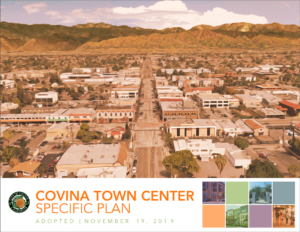
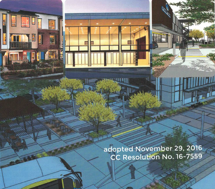
Adopted Specific Plans
A Specific Plan is a planning document that implements the goals and policies of the General Plan. These plans contain detailed development standards and implementation measures to which future projects located within a specified geographic area must adhere.
A Specific Plan is a popular form of a land use overlay. An overlay is an additional layer of planning control, establishing stricter standards that go beyond what the underlying zoning would normally regulate. Cities generally implement overlays to achieve goals that may not ordinarily be attainable through zoning rules alone—ranging from more specific standards governing the production of affordable housing to tailored rules on historic preservation.
You can also view specific plan boundaries on our public GIS (Zoning Map).
Tree Preservation (Oak Tree)
The City of Covina requires the preservation of mature trees to protect a valuable community resource. By preserving mature trees, we can improve the beauty, air quality, and property values of the community.
Preserving Mature Trees
Large mature trees provide habitat for wildlife and birds, moderate the climate, Improve air quality, and increase property values. Mature trees are also a historic resource.
Heritage Trees
The species Quercus (oaks), trees with a trunk diameter of at least 10 inches, and trees designated as heritage trees by the City Council are protected as heritage trees.
Permits must be obtained for removal.
- No person may damage a heritage tree without obtaining a permit.
- An application for a tree preservation permit must be submitted to the Chief Planning Official and must include the name and address of the applicant and property owner, evidence of ownership, location of the property, a photograph of the tree(s), a site plan, a report from a certified arborist or license forester (may be waived for single-family residences), and a mailing list and self-adhesive labels for properties within 309 feet of the subject property.
- Fees are $1,128 for one tree, or #2,205.00 (more than one tree).
Contact the Planning Division for matters related to Oak Tree removal 626-384-5450.


